flutter_map
A flutter implementation of leaflet.
Usage
Add flutter_map to your pubspec:
dependencies:
  flutter_map: ^0.0.1
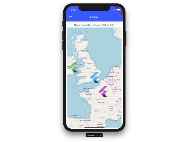
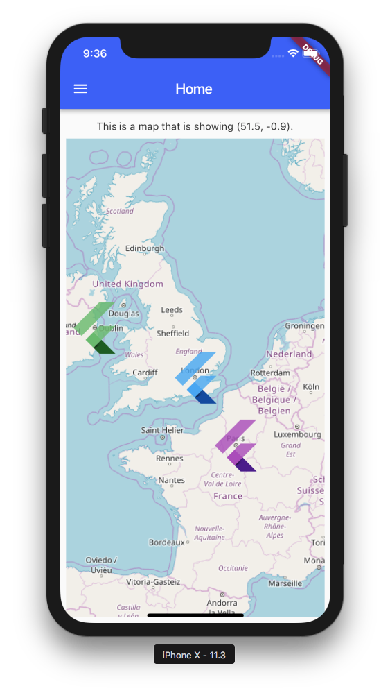
Configure the map using MapOptions and layer options:
  Widget build(BuildContext context) {
    return new FlutterMap(
      options: new MapOptions(
        center: new LatLng(51.5, -0.09),
        zoom: 13.0,
      ),
      layers: [
        new TileLayerOptions(
          urlTemplate: "https://api.tiles.mapbox.com/v4/"
              "{id}/{z}/{x}/{y}@2x.png?access_token={accessToken}",
          additionalOptions: {
            'accessToken': '<PUT_ACCESS_TOKEN_HERE>',
            'id': 'mapbox.streets',
          },
        ),
        new MarkerLayerOptions(
          markers: [
            new Marker(
              width: 80.0,
              height: 80.0,
              point: new LatLng(51.5, -0.09),
              builder: (ctx) =>
              new Container(
                child: new FlutterLogo(),
              ),
            ),
          ],
        ),
      ],
    );
  }
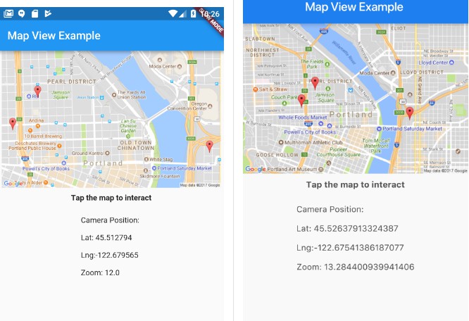
see the flutter_map_example/ folder for a working example app.
Mapbox tiles
You can use map tiles from a number of
free and paid map suppliers,
or you can host your own map tiles.
The example uses OpenStreetMap tiles, which are free but can be slow.
Use TileLayerOptions to configure other tile providers, such as mapbox:
new TileLayerOptions(
  urlTemplate: "https://api.mapbox.com/v4/"
      "{id}/{z}/{x}/{y}@2x.png?access_token={accessToken}",
  additionalOptions: {
    'accessToken': '<PUT_ACCESS_TOKEN_HERE>',
    'id': 'mapbox.streets',
  },
),
To use, you'll need a mapbox key:
- Create a mapbox account to get an api key
- open leaflet_flutter_example/lib/main.dart and paste the API key into the
additionalOptionsmap.
Offline maps
Follow this guide to grab offline tiles
Once you have your map exported to .mbtiles, you can use mbtilesToPng to unpack into /{z}/{x}/{y}.png. Move this to Assets folder and add Asset directories to pubspec.yaml. Minimum required fields for offline maps are:
new FlutterMap(
  options: new MapOptions(
    center: new LatLng(56.704173, 11.543808),
    minZoom: <offline map minimum zoom>,
    maxZoom: <offline map maximum zoom>,
    zoom: 13.0,
    swPanBoundary: LatLng(56.6877, 11.5089),
    nePanBoundary: LatLng(56.7378, 11.6644),
  ),
  layers: [
    new TileLayerOptions(
      offlineMode: true,
      maxZoom: <offline map maximum zoom>,
      urlTemplate: "assets/offlineMap/{z}/{x}/{y}.png",
    ),
  ],
),
Make sure PanBoundaries are within offline map boundary to stop missing asset errors.
See the flutter_map_example/ folder for a working example.
Features
This package is under active development.
The following roadmap is focused on the features we require at AppTree. We welcome
any contributions for items both on and off of the roadmap.
- [x] Inline maps
- [x] Pinch to zoom
- [x] Panning
- [x] Markers
- [ ] Package structure cleanup
- [ ] Improve pinch to zoom ( zoom directly to focal point )
- [x] Zooming removes too many tiles from other levels
- [x] Improve image fetching & caching
- [x] UI Settings support ( disable pan/zoom etc.)
- [ ] Current location support
- [ ] Documentation
- [ ] Polylines
- [x] Offline map support