georange
Georange is a package that helps with encoding geohashes, decoding geohashes,calculating distance between 2 points and generating latitudinal and longitudinal ranges as geohashes to help with the querying of databases (Tested on Firestore Only).
Getting Started
You should ensure that you add Georange as a dependency in your flutter project.
dependencies:
  georange: <latest-version>
You should then run flutter packages get
Example
There is a detailed example project in the example folder.
Initialize
Import georange to your dart file and initialize
import 'package:georange/georange.dart';
GeoRange georange = GeoRange();
Encode LatLng
This method encodes the latitude and longitude
var encoded = georange.encode(-1.2862368,36.8195783);
print(encoded);
prints kzf0tvg5n
Decode Geohash
Decode a [geohash] into a pair of latitude and longitude.
Point decoded = georange.decode("kzf0tvg5n");
print(decoded);
prints
-1.2862372398376465
36.819584369659424
Generate Range
  Range range = georange.geohashRange(-1.2921, 36.8219, distance: 10);
  print(range.lower);
  print(range.upper);
prints
kzf05k6hh
kzf30mptu
Calculate Distance between 2 Points
  Point point1 = Point(latitude: -4.0435, longitude: 39.6682); //Mombasa
  Point point2 = Point(latitude: -1.2921, longitude: 36.8219); // Nairobi

  var distance = georange.distance(point1, point2);
  print(distance);
prints
439.716 Distance in Kilometres
Usage with Firestore
- Add a document to firestore with a
geohashfield or a different name
  final FirebaseFirestore _db;
  ...
  String myhash = georange.encode(-1.2862368,36.8195783);
  await _db.collection("locations").add({
    "geohash":myhash,
  })
  ...
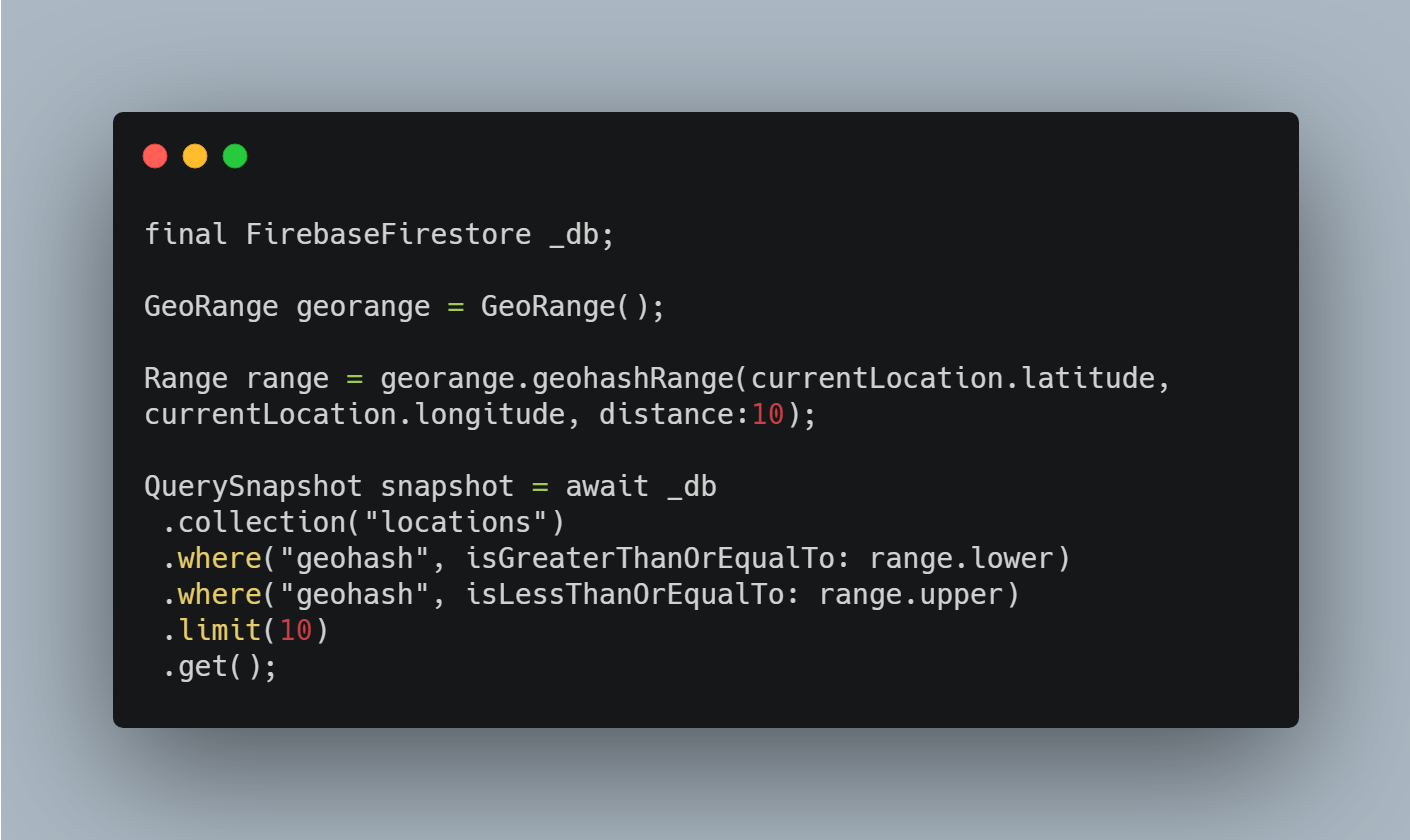
- Query Firestore (Runs like a normal firestore query)
final FirebaseFirestore _db;

GeoRange georange = GeoRange();

Range range = georange.geohashRange(currentLocation.latitude, currentLocation.longitude, distance:10);

QuerySnapshot snapshot = await _db
 .collection("locations")
 .where("geohash", isGreaterThanOrEqualTo: range.lower)
 .where("geohash", isLessThanOrEqualTo: range.upper)
 .limit(10)
 .get();